 Geo Measure
How to use this tool
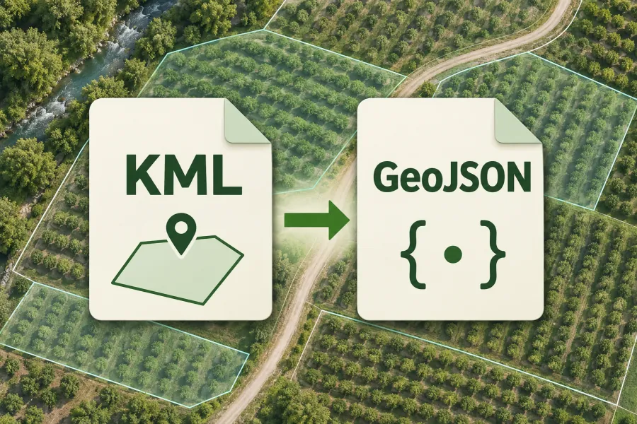
Open a KML file, check the feature preview and download it as GeoJSON.
Formats, units and common uses
Source format: placemarks, paths and areas for Google Earth. Output format: geographic features for web maps and GIS applications. Formats represent geometry and attributes differently. Review tracks, polygon boundaries and names after conversion.
Saving and sharing
This free tool opens map files on your device. Save your work in this browser, download a project file or create a link carrying the selected map data.