01
Points on the map
Mark boundary vertices on OpenStreetMap and get area and perimeter instantly.
Measure land, measure property or measure field boundaries directly on the map. Calculate acreage, field size and distance online, then continue in the native iOS or Android app.
 1
2
3
4
1
2
3
4
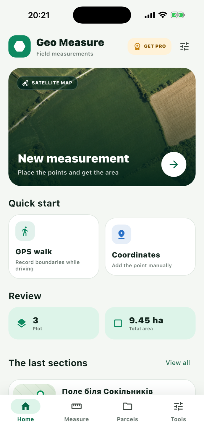
Use a land area calculator and acreage calculator to measure distance, calculate field size and save every plot measurement.
From a quick area estimate to a precise boundary for further work — without complicated surveying equipment.
Mark boundary vertices on OpenStreetMap and get area and perimeter instantly.
Walk along the boundary — Geo Measure records the route and filters inaccurate GPS points.
PROEnter latitude and longitude manually in DD or DMS format.
Drag points, insert new ones between sides and refine coordinates numerically.
Names, categories, notes, coordinates, sides and boundary previews in one list.
Share results as GeoJSON, KML or CSV for GIS and office workflows.
PROReview the length, direction and angle of every parcel side.
Convert area between m², hectares, acres and ft², and coordinates between DD and DMS.
Choose a method based on field conditions, boundary access and the accuracy you need.
The fastest way to estimate a field, yard or construction site remotely.
12 34 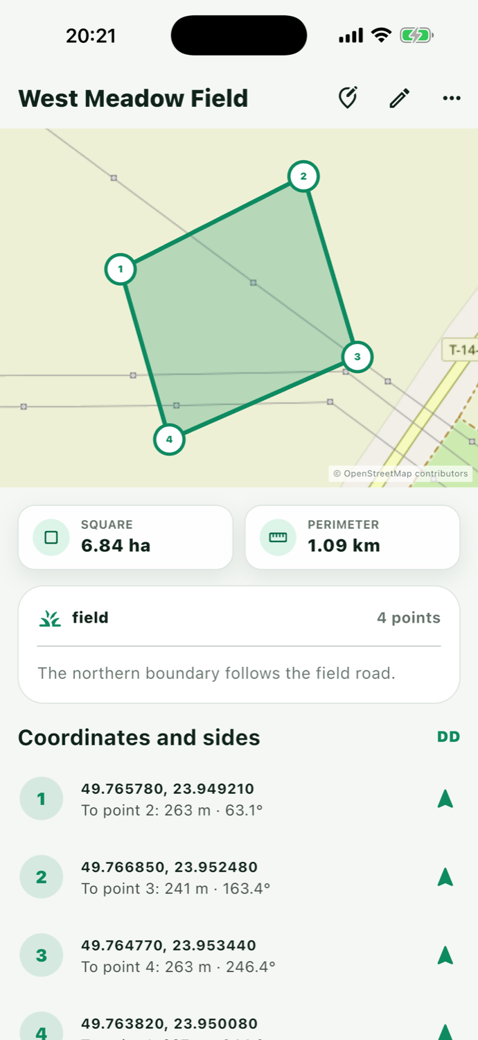
A saved parcel remains fully editable. Move vertices on the map, enter coordinates manually or add new points between sides.
Drag a marker where it belongs — the contour and metrics update immediately.
Insert a point between adjacent vertices or remove an unnecessary one.
Tap a point to change its latitude and longitude manually.
Restore the previous state or leave without saving your changes.
Large controls, live metrics and clear guidance make field work easy.
New measurement, GPS walk, coordinates and recent parcels are immediately available.
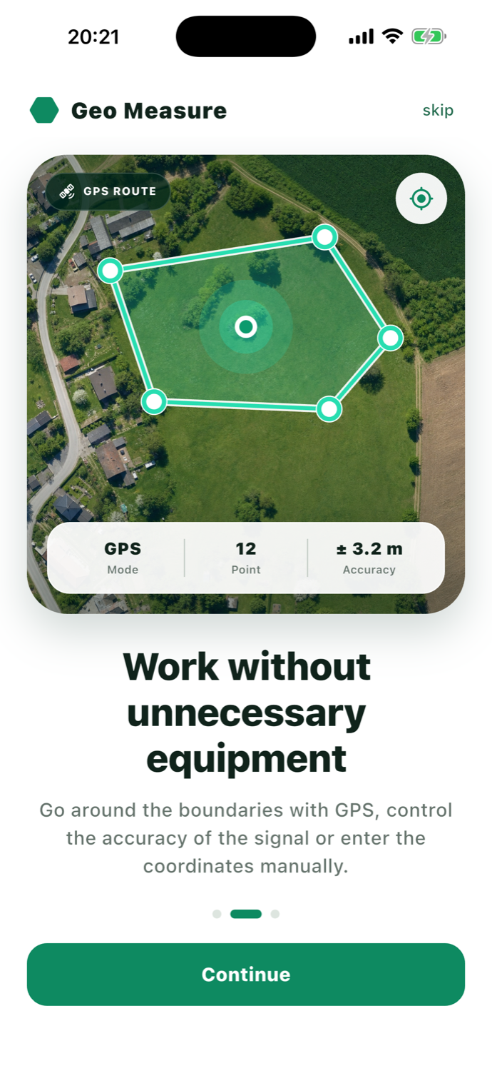
Monitor GPS accuracy and collect boundary points while moving.
Coordinates, side lengths, bearings, notes and a visual boundary.
Geo Measure helps wherever you need to capture boundaries quickly and get a clear result.
Preliminary field measurements, control coordinates, bearings and export for further work.
Field area for planning crops, treatment, fertiliser and material use.
Quick estimates for sites, fencing, access roads and work zones.
A clear view of your land, with notes, saved measurements and easy sharing.
A quick guide to accuracy, maps, saving and subscriptions.
Accuracy depends on the method. Map points depend on imagery detail, while a GPS walk depends on your device signal and surroundings. Geo Measure shows current GPS accuracy and lets you set an acceptance threshold. Legal boundary establishment requires a certified surveyor.
 READY TO START?
 Mark points on the map and instantly get area, perimeter and every side length.