 Geo Measure
Free online map tools
Measure land and distance, analyze terrain, find GPS coordinates, and view or convert GPX, KML and GeoJSON files.
Saved projects →Area and distance
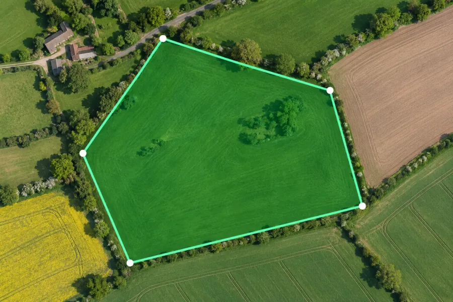 Map area calculator Outline a field, roof or property to calculate area and perimeter in square meters, acres, hectares or square feet.
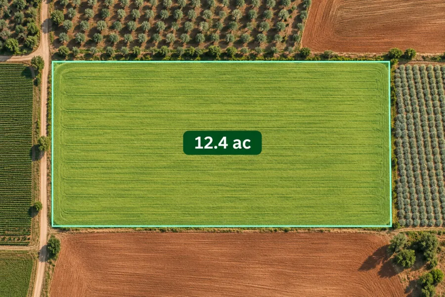 Acreage calculator Calculate land acreage on a satellite map and compare the field size in acres, hectares and square feet.
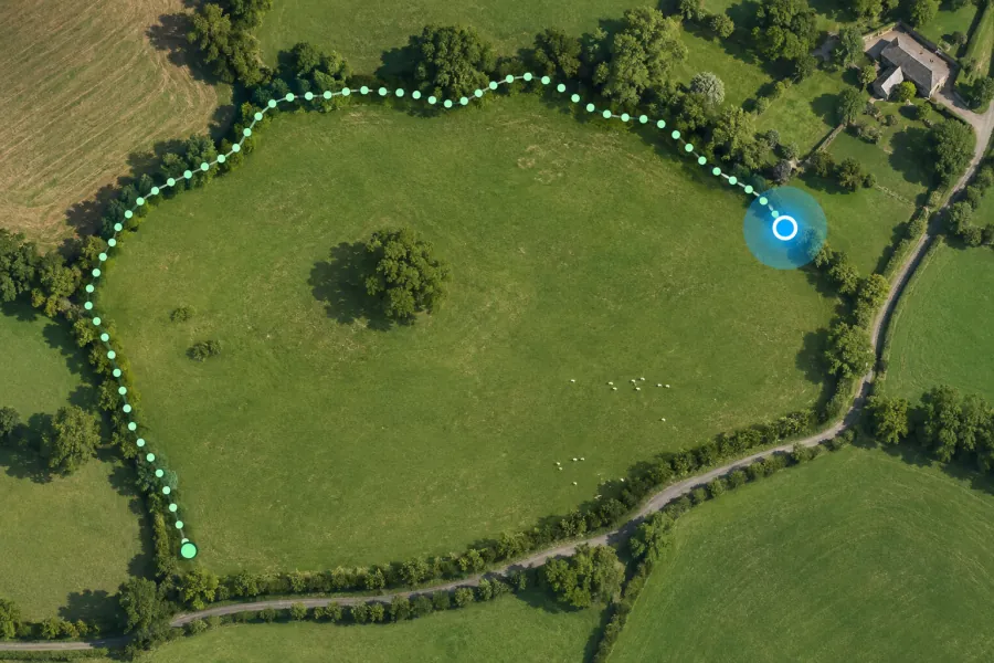 GPS land area measurement Walk the boundary of a field or plot with your phone to measure land area and perimeter from GPS points.
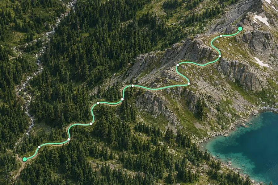 Measure distance along a path Measure the length of a trail, fence, shoreline or custom route by drawing a line on the map.
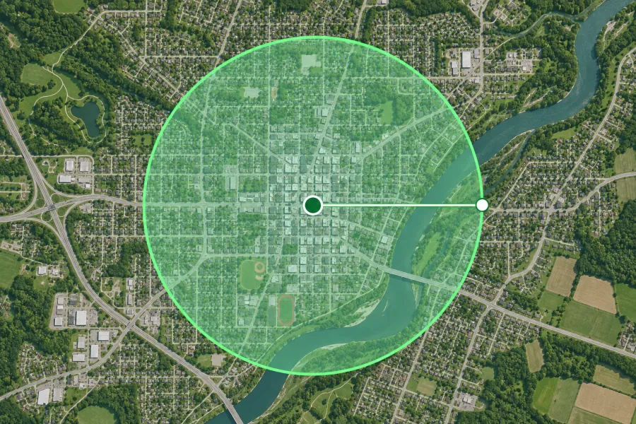 Radius map Draw radius circles in miles or kilometers around an address. Compare coverage, area and circumference.
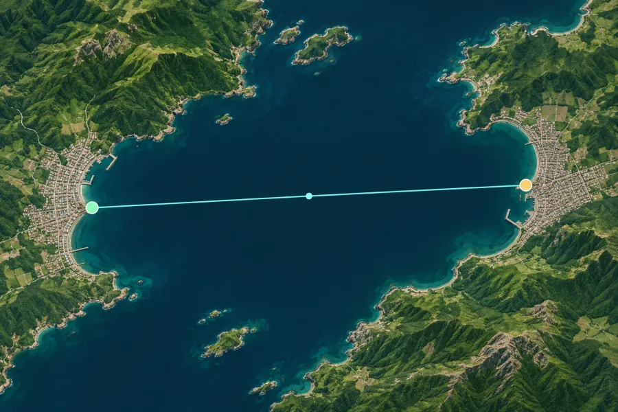 Distance between two places Find the straight-line distance between two cities or addresses, with bearing, midpoint and elevation difference.
Elevation and terrain
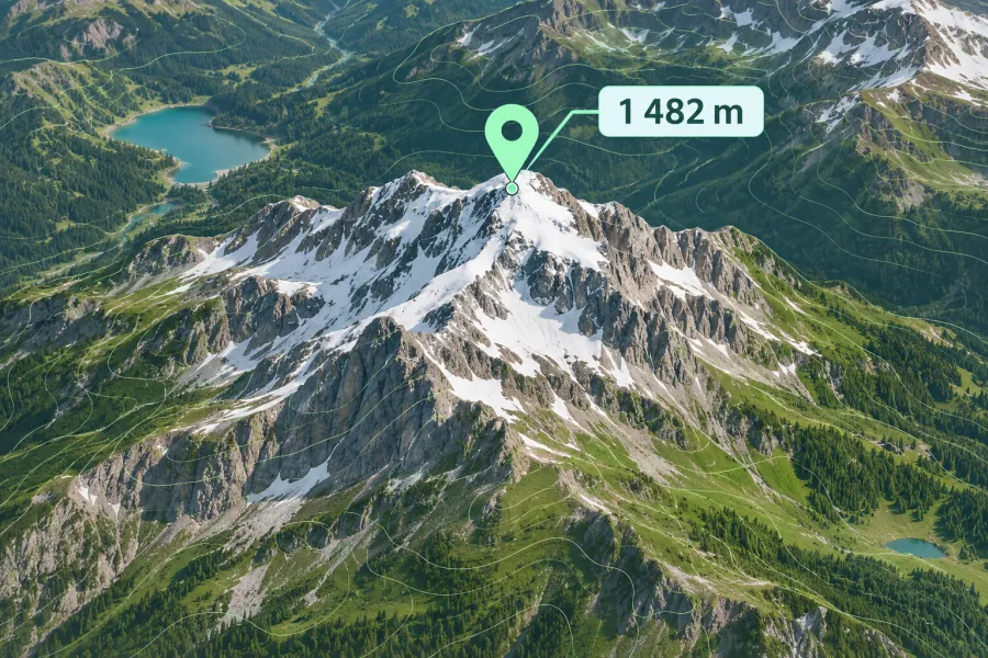 Elevation finder Find the ground elevation of an address, summit or GPS point in meters and feet.
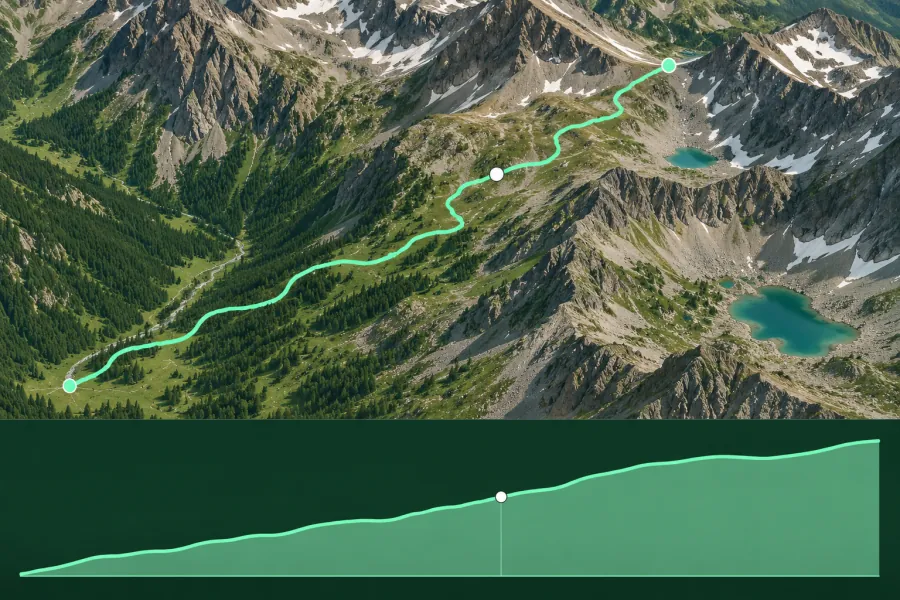 Elevation profile generator Draw a hiking, cycling or running route and calculate elevation gain, descent, high and low points.
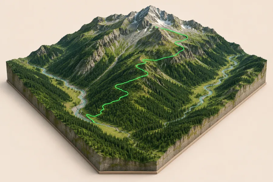 3D terrain map View a mountain or valley in 3D, overlay a GPX route and export a solid STL terrain model for 3D printing.
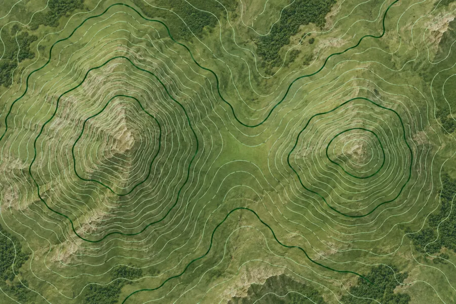 Contour map generator Generate topographic contour lines at a custom elevation interval and export them as GeoJSON or KML.
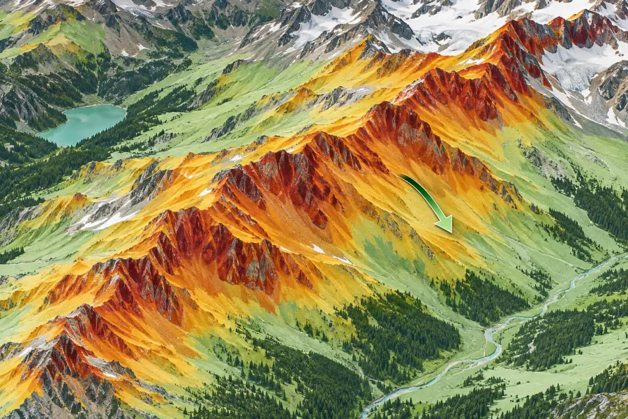 Slope and aspect map Map slope angle, percent grade and aspect. Highlight terrain in the 30–45° avalanche-angle band.
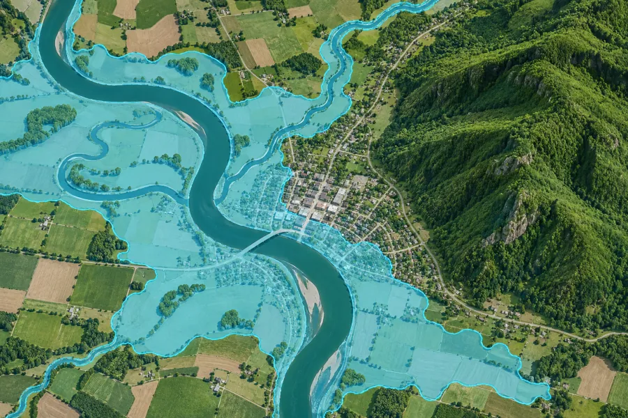 Flood and sea level map Explore low-lying terrain by shading land below a selected water level in meters or feet.
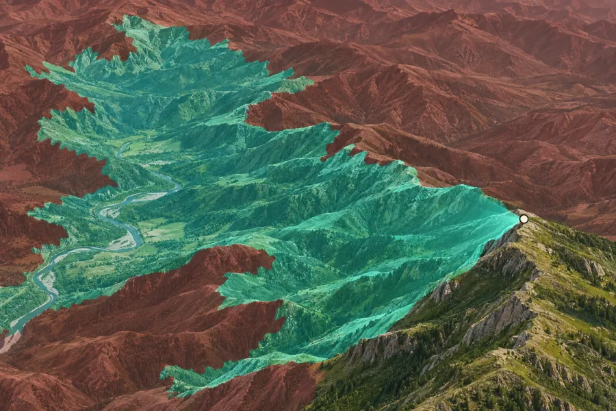 Viewshed and line of sight Estimate what terrain is visible from a viewpoint or antenna within a radius of up to 25 km.
GPS coordinates
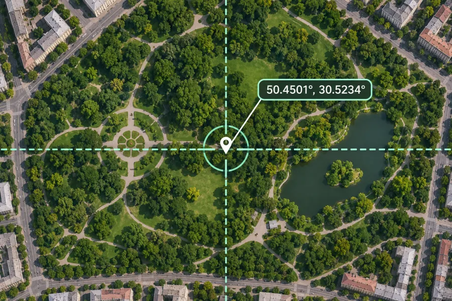 Latitude and longitude finder Find GPS coordinates for any point or address in decimal degrees, DMS, DDM, UTM, MGRS and Plus Codes.
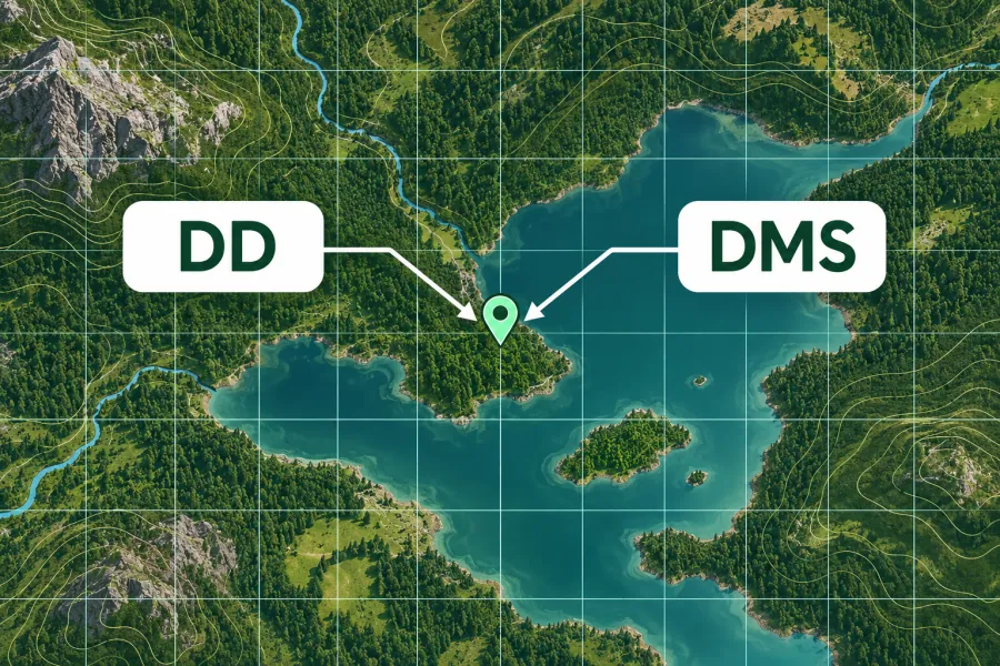 GPS coordinate converter Convert WGS84 coordinates between decimal degrees, DMS, decimal minutes, UTM, MGRS and Plus Codes.
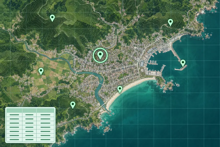 Plot coordinates on a map Map a list of GPS coordinates from CSV or pasted text with labeled markers and GeoJSON export.
Map files and tracks
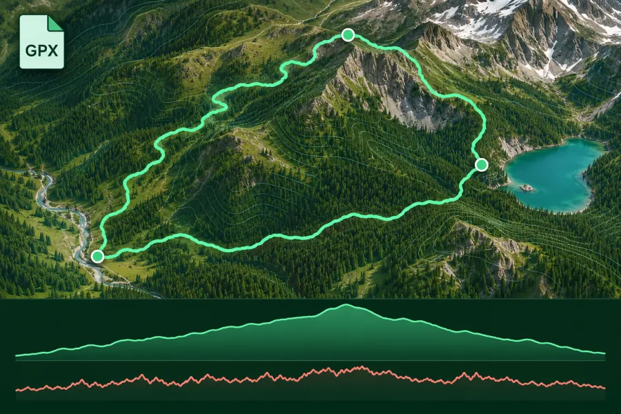 GPX viewer Open GPX tracks, routes and waypoints on a map with elevation, speed and available sensor charts.
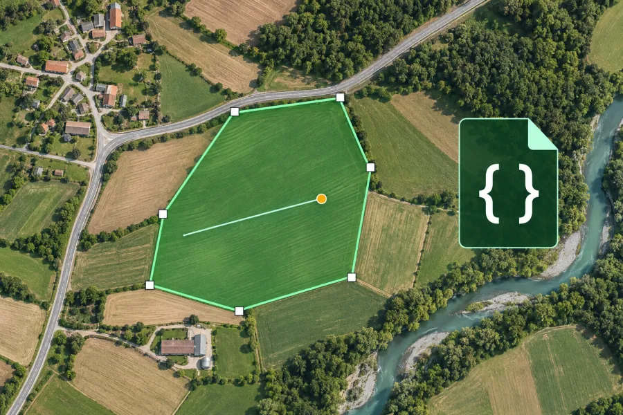 GeoJSON editor Draw and edit GeoJSON points, lines, polygons and feature properties with a live map preview.
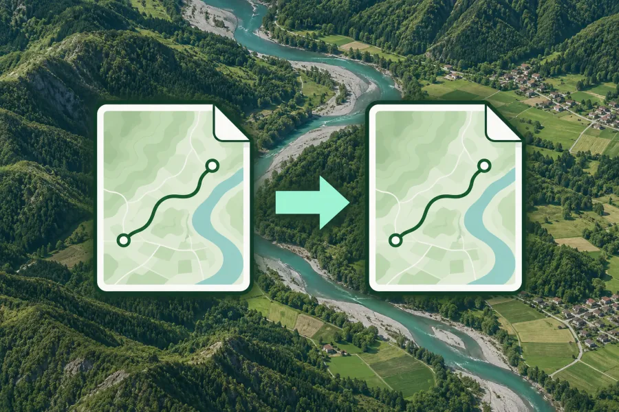 Map file converter Convert GPX, KML, KMZ, GeoJSON and CSV files with a map preview and local processing.
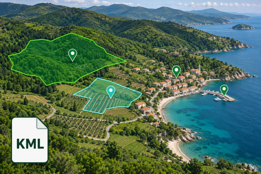 KML and KMZ viewer Open Google Earth KML placemarks, paths and polygons, including compressed KMZ files.
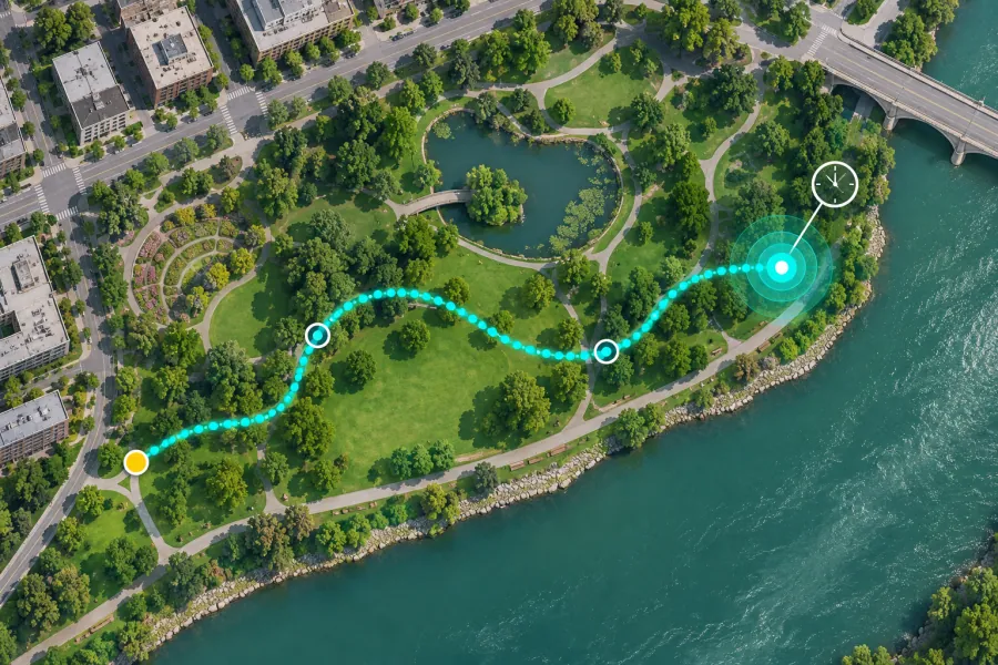 GPS route tracker Record a walk, run, ride or hike and export a GPX track with segments, timestamps and waypoints.
File format conversions
 Convert GPX to KML
 Convert GPX to KMZ
 Convert GPX to GeoJSON
 Convert GPX to CSV
 Convert KML to GPX
 Convert KML to KMZ
 Convert KML to GeoJSON
 Convert KML to CSV
 Convert KMZ to GPX
 Convert KMZ to KML
 Convert KMZ to GeoJSON
 Convert KMZ to CSV
 Convert GeoJSON to GPX
 Convert GeoJSON to KML
 Convert GeoJSON to KMZ
 Convert GeoJSON to CSV
 Convert CSV to GPX
 Convert CSV to KML
 Convert CSV to KMZ
 Convert CSV to GeoJSON