 Geo Measure
How to use this tool
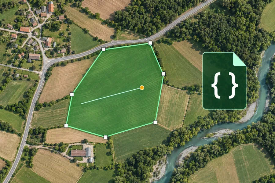
Draw on the map or open a GeoJSON file. Edit the source to update coordinates and attributes, then download the result.
Formats, units and common uses
GeoJSON uses longitude followed by latitude. Prepare feature collections for QGIS, Leaflet, web maps or GIS databases.
Saving and sharing
This free tool opens map files on your device. Save your work in this browser, download a project file or create a link carrying the selected map data.