 Geo Measure
How to use this tool
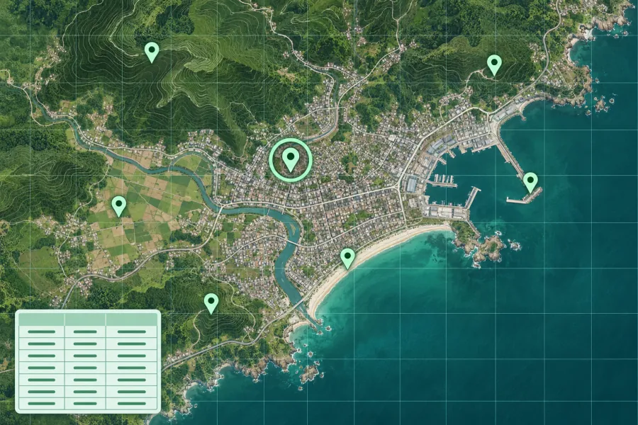
Paste latitude, longitude and an optional label on each line, or load a CSV file. Select Plot points to fit the markers.
Formats, units and common uses
Plot field observations, sample sites or addresses prepared in a spreadsheet. The results include point count, center and geographic extent.
Saving and sharing
This free tool opens map files on your device. Save your work in this browser, download a project file or create a link carrying the selected map data.