 Geo Measure
How to use this tool
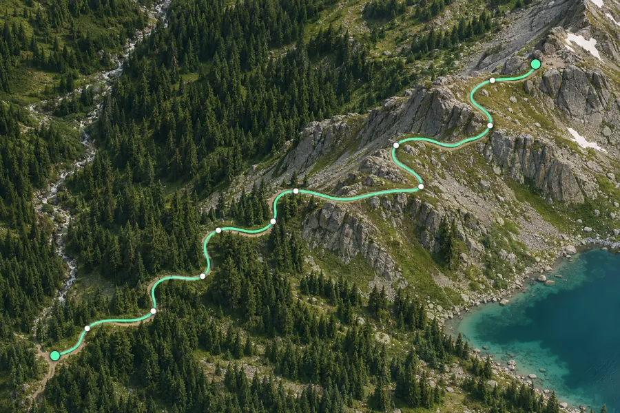
Place points along the route, finish the line and choose meters, kilometers, miles or feet.
Formats, units and common uses
Add more points where a route bends. The result sums ground distances between the vertices, so you can measure routes that follow no mapped road.
Saving and sharing
This free tool opens map files on your device. Save your work in this browser, download a project file or create a link carrying the selected map data.