 Geo Measure
How to use this tool
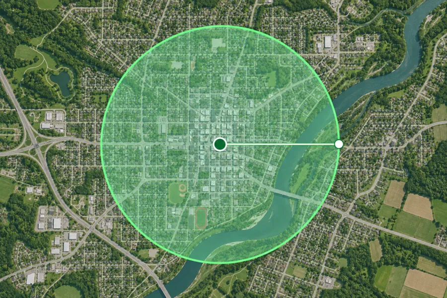
Set a distance and unit, then click the center on the map or select an address. Drag the center or edge handle to adjust the circle.
Formats, units and common uses
Compare service zones, walking buffers or delivery coverage with multiple circles. A radius represents straight-line coverage around a center.
Saving and sharing
This free tool opens map files on your device. Save your work in this browser, download a project file or create a link carrying the selected map data.