 Geo Measure
How to use this tool
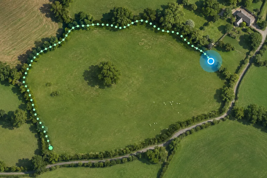
Start at a corner and allow location access. Record the path or mark each corner manually, then finish near your starting point.
Formats, units and common uses
Use continuous recording for a curved boundary. For straight edges, pause at each corner and mark it after the location settles. Keep the page open during the walk.
Saving and sharing
This free tool opens map files on your device. Save your work in this browser, download a project file or create a link carrying the selected map data.