 Geo Measure
How to use this tool
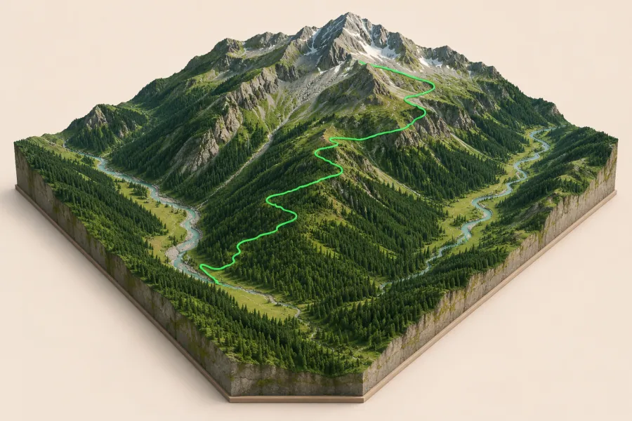
Mark two opposite corners and calculate the terrain. Rotate the map, change vertical exaggeration or switch to satellite imagery.
Formats, units and common uses
A shaded relief view makes ridges and valleys easier to identify. Set the model width in millimeters before exporting a printable terrain surface with a base.
Saving and sharing
This free tool opens map files on your device. Save your work in this browser, download a project file or create a link carrying the selected map data.