 Geo Measure
How to use this tool
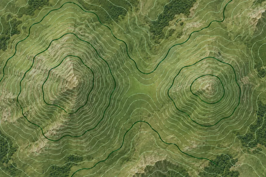
Zoom to an area, set a contour interval in meters or feet and calculate the lines for the visible map.
Formats, units and common uses
Closely spaced contours indicate steep ground. Choose a larger interval over a mountain range and a smaller interval for a local hillside.
Saving and sharing
This free tool opens map files on your device. Save your work in this browser, download a project file or create a link carrying the selected map data.