 Geo Measure
How to use this tool
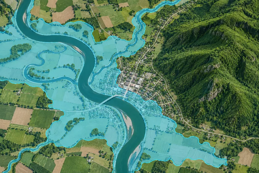
Zoom to a coast, river or lake and calculate the overlay. Change the water level to compare scenarios.
Formats, units and common uses
The overlay compares ground elevation with a fixed level. It includes enclosed depressions and does not model water flow, levees, drainage or flood probability.
Saving and sharing
This free tool opens map files on your device. Save your work in this browser, download a project file or create a link carrying the selected map data.