 Geo Measure
How to use this tool
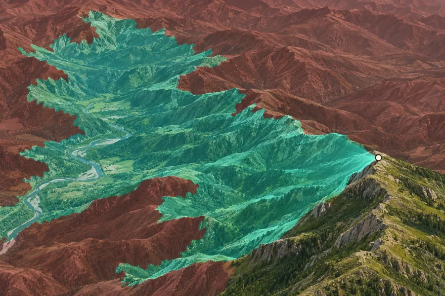
Place an observer on the map. Set eye height, optional target height and search radius, then calculate visibility.
Formats, units and common uses
Ridges can hide lower terrain behind them. The model accounts for Earth curvature and uses ground elevation, so trees and buildings may affect visibility in the field.
Saving and sharing
This free tool opens map files on your device. Save your work in this browser, download a project file or create a link carrying the selected map data.