 Geo Measure
How to use this tool
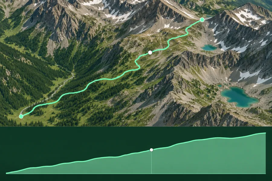
Trace your route and select Calculate. Move across the chart to locate the matching sample on the map.
Formats, units and common uses
Export sampled elevations as GPX or CSV for route planning. Switch to Spot height or Area to inspect a summit or the ground inside a boundary.
Saving and sharing
This free tool opens map files on your device. Save your work in this browser, download a project file or create a link carrying the selected map data.