 Geo Measure
How to use this tool
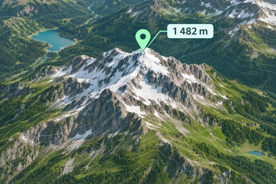
Search for a place or add several points on the map, then read the elevation beside each coordinate.
Formats, units and common uses
Compare the elevation of a trailhead, summit or property using a digital elevation model. A roof, bridge or tower can stand above the modeled ground.
Saving and sharing
This free tool opens map files on your device. Save your work in this browser, download a project file or create a link carrying the selected map data.